We have been working quietly for a while, and now one of the biggest updates in Fricamp's history is being released. Here are the highlights.
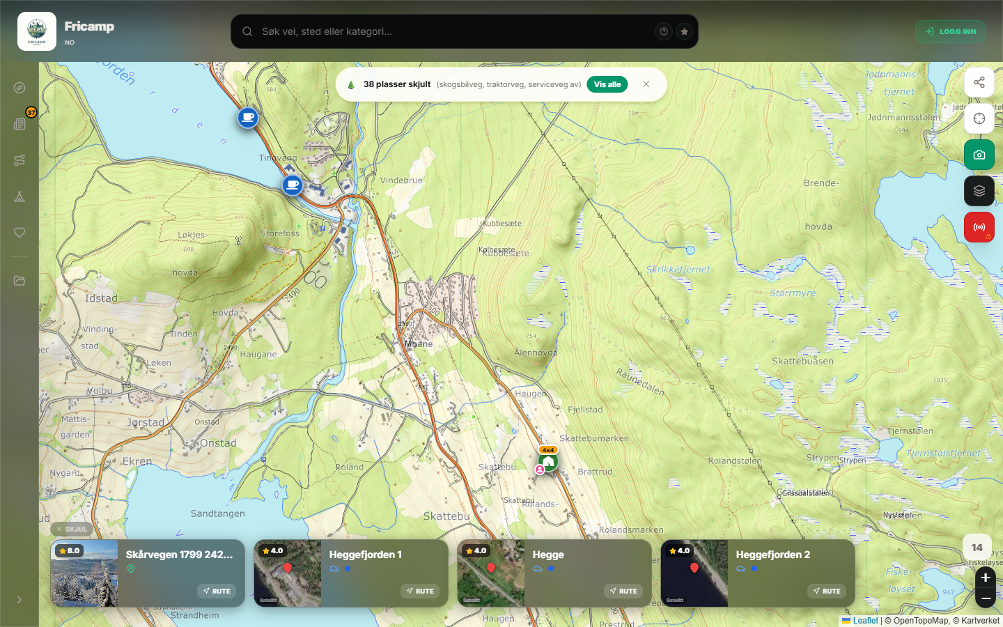
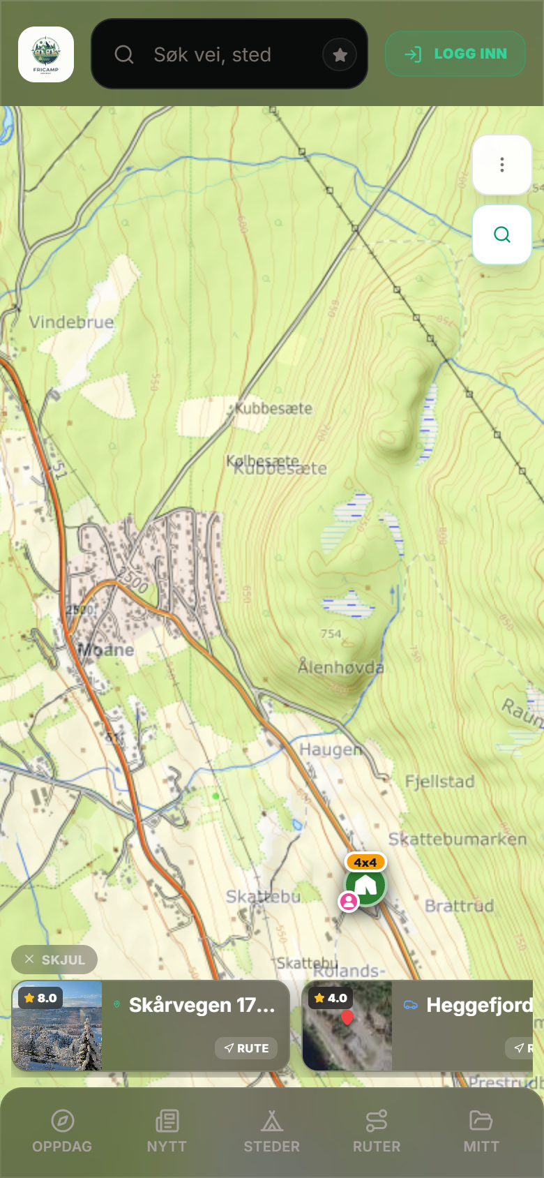
📷 Images on all map layers
Perhaps the biggest news: Fricamp now automatically fetches a representative image for locations that lack their own images, across all map layers. We connect to rich, public image sources (street views and community images) so you get a visual impression of the place before you go – even where no one has uploaded pictures yet. This makes it easier than ever to evaluate a spot right from the map.
💬 Chat in collaborative maps
Are you sharing a map with your travel companions? Now you can chat together directly in the shared map – with images, automatic translation between languages, push notifications, and @-mentions. You can invite others by email, and they get access automatically. Municipality and county are now also displayed in the map list.
🗺️ Maps that work offline
Map tiles are now cached directly in the app, so the map works even without coverage – especially important when hiking in the mountains. The app can preload your area when you are on wifi, so you have the map ready when you need it.
🥾 Hiking trails with elevation profile
We have added hiking trails by type, and you can tap on a trail to identify it and see the elevation profile – useful for planning your day trip.
More improvements in this update
- Redesigned place cards with restructured tabs and nearby facilities
- First-comer bonus, freshness badge, and status-giving verification
- Check-ins now show county, and the news feed is populated with images first
- "What's new" right in the menu – so you always see what has changed
- Photos now open in the gallery instead of on the map
- Many improvements in accessibility and readability (larger tap targets, better contrast, keyboard navigation)
- Autofill for commercial campsites: the "Fetch info" button retrieves phone number, opening hours, and description from Google Places when you add a campsite – only empty fields are filled in, and everything can be edited.
- Reviews now show the number of registered reviews, so you can see right away if it is worth expanding them.
Thank you for using Fricamp – we are continuing to build. Have a great trip! 🏕️